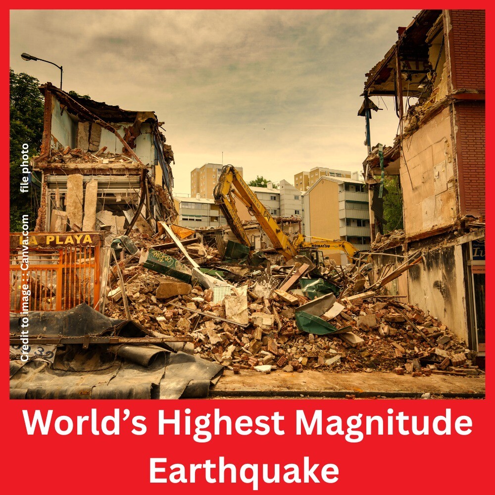
The Earth’s crust is constantly shifting, but occasionally these shifts culminate in catastrophic seismic events. The most powerful earthquake ever recorded struck Chile on May 22, 1960, with a staggering magnitude of 9.5 on the Moment Magnitude Scale (Mw). This article explores the details of that historic quake, its causes, devastating aftermath, and global implications. It also examines related volcanic eruptions and tsunamis that followed major seismic events. Through data-backed insights and real-world impacts, this article sheds light on the science and significance of the Earth’s most intense geological events.
Introduction : World’s Highest Magnitude Earthquake
Earthquakes serve as powerful reminders of the dynamic nature of our planet. While thousands occur each year, only a few reach catastrophic levels. Among them, the 1960 Valdivia Earthquake in Chile remains unmatched in magnitude and impact. This article explores the history, geological mechanism, and global ripple effects of this and other related seismic events. The connection between major earthquakes and phenomena like volcanic eruptions and tsunamis is also discussed, supported by historical data.
1. The 1960 Valdivia Earthquake: The World’s Largest Earthquake.
1.1 Basic Facts
- Date: May 22, 1960
- Location: Valdivia, Chile
- Magnitude: 9.5 Mw (Moment Magnitude Scale)
- Duration: Approximately 10 minutes
- Depth: ~33 km (shallow-focus)
- Fatalities: Over 1,600 people
- Damage Cost: Over US $550 million (1960 value)
1.2 Tectonic Cause
The earthquake occurred due to the subduction of the Nazca Plate beneath the South American Plate—a convergent plate boundary known for high seismic activity. The rupture stretched over 1,000 km along Chile’s coast.
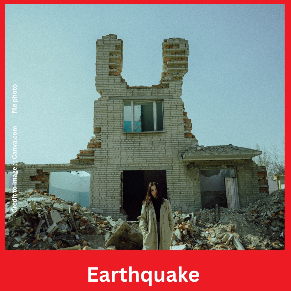

2. Timeline of Largest Earthquakes in Recorded History
| Rank | Location | Date | Magnitude (Mw) | Fatalities | Depth (km) |
| 1 | Valdivia, Chile | May 22, 1960 | 9.5 | ~1,655 | 33 |
| 2 | Sumatra, Indonesia | Dec 26, 2004 | 9.1–9.3 | ~227,898 | 30 |
| 3 | Alaska, USA | Mar 28, 1964 | 9.2 | 131 | 25 |
| 4 | Tōhoku, Japan | 11 Mar 2011 | 9.1 | ~19,747 | 29 |
| 5 | Severo‑Kurilsk, Russia | 4 Nov 1952 | 9.0 | ~2,336 | 21 |
| 6 | Kamchatka, Russia | 30 July 2025 | 8.8 | NA | 19.3 |
Source: USGS (United States Geological Survey), EMSC (European-Mediterranean Seismological Centre)
3. Earthquakes Followed by Major Volcanic Eruptions
| Earthquake Location | Date of Quake | Magnitude (Mw) | Volcano Erupted | Eruption Date | Remarks |
| Major Earthquake and Eruption Country “Chile” | Earthquake date 22 May 1960 | 9.5 Mw | Cordón Caulle | 24 May 1960 | Eruption followed after 2 days |
| Earthquake Country Indonesia | Major Earthquake date 26 Dec 2004 | 9.1 Mw | Mount Sinabung | 2005–2014 | Intermittent eruptions |
| Tohoku of Japan | Major Earthquake date 11 Mar 2011 | 9.1 Mw | Shinmoedake (Kyushu) | 13 Mar 2011 | Reawakened after 52 years |
Source: Smithsonian Institution’s Global Volcanism Program
4. Earthquakes Followed by Tsunamis (Major Events)
| Earthquake Location | Date | Magnitude (Mw) | Tsunami Affected Regions | Fatalities (Tsunami) |
| Major Tsunami Country Chile | 22 May 1960 | 9.5 | Chile, Hawaii, Japan, Philippines | ~230 in Hawaii & Japan |
| Major Tsunami Country Sumatra, Indonesia | 26 Dec 2004 | 9.1–9.3 | 14 countries (Indian Ocean) | ~227,000 |
| Major Tsunami Country Japan (Tohoku) | 11 Mar 2011 | 9.1 | Japan, Pacific Basin | ~18,500 |
Source: NOAA, UNESCO-IOC Tsunami Programme
4a. 1952 Severo-Kurilsk Earthquake – Key Details
- Date: November 4, 1952
- Time (UTC): 16:58:26
- Location: Off the east coast of Kamchatka Peninsula, near Severo-Kurilsk, Russia
- Epicenter Coordinates: Approximately 50.0°N, 157.5°E
- Magnitude: 9.0 Mw (Moment Magnitude Scale)
- Depth: ~21 km
- Type: Megathrust earthquake at the Kuril–Kamchatka Trench
- Tsunami: Waves up to 18 meters struck Severo-Kurilsk, destroying the town
- Fatalities: Estimated 2,336 people
Note: This event is one of the most powerful earthquakes of the 20th century and produced a devastating tsunami that led to massive loss of life and infrastructure in Severo-Kurilsk.
Source:
- USGS Earthquake Archive: earthquake.usgs.gov
- National Centers for Environmental Information (NOAA)
- Wikipedia: 1952 Severo-Kurilsk earthquake
4b. 30 July 2025 Kamchatka Earthquake (Mw 8.8) Russia
Overview of the Event
- Date: July 30, 2025
- Magnitude: 8.8 Mw (USGS, top-10 global)
- Depth: ~19.3 km (shallow)
- Epicenter: ~119 km ESE of Petropavlovsk‑Kamchatsky
- Intensity: MM VIII severe shaking in coastal zones
- Casualties: Till the date None reported in Russia, minor injuries and structural damage only
Tectonic & Geological Mechanics
Situated along a megathrust boundary between the Pacific Plate and the Okhotsk (North American) Plate, the earthquake ruptured a 200–300 mile segment of the Kuril–Kamchatka trench, lifting seafloor and displacing ocean water
Earthquake Followed by Volcanic Eruption
| Earthquake (Location) | Date | Magnitude | Volcano Erupted | Eruption Onset | Notes |
| Kamchatka, Russia | July 30, 2025 | 8.8 Mw | Klyuchevskoy (Kamchatka) | ~hours post-quake | Lava flow on western slope; direct link under study |
Volcanic tsunami mechanisms are well‑documented: pyroclastic flows, landslides, or caldera collapse can induce tsunami if occurring near water bodies . In this case, Klyuchevskoy—Russia’s most active volcano—erupted soon after the earthquake, raising questions about possible seismic-trigger dynamics.
Earthquake → Tsunami Major Events
| Earthquake (Location) | Date | Magnitude | Tsunami Regions Affected | Max Wave (m) |
| Kamchatka, Russia | July 30, 2025 | 8.8 Mw | Severo‑Kurilsk, Japan, Hawaii, US West Coast, Chile, French Polynesia | 5 m at Severo‑Kurilsk; ~1.7 m in Hawaii; ~1.3 m in Japan; ~1 m California |
| Severo‑Kurilsk, Russia | Nov 5, 1952 | ~9.0 Mw | Kuril Islands, trans-Pacific | ~18 m tsunami in 1952 |
The 2025 quake triggered tsunami warnings across the Pacific. Alerts spanned countries like Japan, Chile, Hawaii, French Polynesia, and US coastal zones. Although waves reached significant heights locally (3–5 m), they were far less destructive in distant regions—a combination of rupture extent, depth, and coastal bathymetry reducing tsunami magnification
5. Impacts and Global Significance
5.1 Human and Economic Loss
Two million people become homeless after 1960 Chile earthquake. Economic losses were catastrophic, and reconstruction took years.
5.2 Tsunami Wave Patterns
The Valdivia quake generated Pacific-wide tsunamis. Tsunami waves reached at Japan , 22 hours later with waves over 6 meters high.
5.3 Triggered Volcanism
Volcanic activity triggered by seismic shaking remains an area of active research, as volcanic systems may respond to tectonic stress.
6. Scientific Importance and Monitoring
Modern seismology has advanced significantly since the 1960s. Today, global seismic networks like those run by USGS and IRIS allow real-time data collection, alerting systems, and hazard mitigation.
7. Summary
- The 1960 Chile earthquake is recorded as strongest earthquake till the date .
- It triggered both a volcanic eruption (Cordón Caulle) and a devastating trans-Pacific tsunami.
- Other massive quakes like the 2004 Sumatra and 2011 Japan events have also demonstrated the global impact of seismic activity.
- Better monitoring, early warning systems, and education are key to reducing future losses.
Frequently Asked Questions (FAQs)
Q1: What is the world’s largest earthquake ever recorded?
A: The 1960 Valdivia Earthquake in Chile, measuring 9.5 on the Moment Magnitude Scale.
Q2: Can earthquakes trigger volcanic eruptions?
A: Yes, large quakes can increase pressure in nearby volcanic systems and potentially trigger eruptions, though it’s not always the case.
Q3: How are tsunamis related to earthquakes?
A: Most tsunamis are caused by undersea earthquakes that vertically displace large volumes of water, often at subduction zones.
Q4: What tools do scientists use to measure earthquakes?
A: Seismometers & accelerometers are used to detect & measure seismic waves during the earthquake
Conclusion
Earthquakes like the 1960 Valdivia event serve as stark reminders of the Earth’s immense energy. The interplay between tectonic movements, volcanic eruptions, and tsunamis can have global ramifications. While science has progressed, the key to safety remains awareness, infrastructure resilience, and international cooperation in disaster monitoring and preparedness.
References
- USGS Earthquake Archive – https://earthquake.usgs.gov
- NOAA Tsunami Event Database – https://www.ngdc.noaa.gov
- Global Volcanism Program (Smithsonian) – https://volcano.si.edu
- EMSC Seismic Data – https://www.emsc-csem.org
- UNESCO-IOC Tsunami Programme – https://ioc.unesco.org
- IRIS Seismic Monitoring – https://www.iris.edu
PRAKRITI DARSHAN-NATURE AND ENVIRONMENT MAGAZINE
Prakriti Darshan is a leading Hindi-language magazine and digital platform dedicated to raising public awareness on vital issues related to nature, biodiversity, climate change, sustainable development, and environmental conservation. This magazine represents a unique blend of science, society, and sensitivity—offering a common platform for researchers, students, NGOs, policymakers, nature lovers, and conscious citizens alike.
With thought-provoking articles, inspiring stories, environmental research, impactful projects, and policy perspectives, Prakriti Darshan is a transformative journey toward a greener and more sustainable future.
Let us come together to protect and preserve our planet for generations to come. 🌿🌍
Join us in our mission to protect and celebrate the planet. 🌏💚
Click for more information
- Visit www.prakritidarshan.com for Free Magazine ,Free membership benefits ,offered price magazine @ Rs.1 or Rs.11 only and more ……
- 🎗️Sponsor Prakriti Darshan Magazine – Support our environment mission.
- 📚 Explore the Environment Magazine – Read our latest and past issues.
- ✍️ Read Editor’s Article or Blog – Insightful thoughts from our editorial desk.
- 🌱 Join Membership – Be part of India’s leading green community.
- 🤝 Become an NGO Impact Story Partner – Share your grassroots impact nationwide.
- 🏢 Become a Company Partner – Showcase your CSR, ESG, or sustainability work.
- 👤 Become an Individual Partner – Volunteer, write, and raise your green voice.
- 📢 Advertise with Us – Reach eco-conscious readers across India.
- Eco Trails Newsletter
- Donate for “Hari Ho Vashundhara & Har school Hariyali “ Plantation campaign Associated Partner NGO :GDSS NGO www.gdssngo.org
BALA DATT SHARMA,
MANAGING EDITOR ,
PRAKRITI DARSHAN-NATURE AND ENVIRONMENT MAGAZINE